
DAVID LAMBROU
Vendre
Acheter
Updated Quebec floodplain map includes large portion of Pierrefonds-Roxboro, Sainte-Marthe-sur-le-Lac!
21 juin 2019
Actualités
Coup de coeur
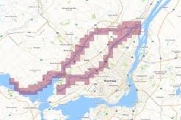
New flood maps by the Communauté métropolitaine de Montréal (CMM) have outlined the regions that it finds now fall into Quebec’s floodplains.
The maps, adopted Thursday by the CMM’s council, put hundreds of residents from Sainte-Marthe-sur-le-Lac at risk of recurring floods.
It also includes parts of Île-Bizard, Saint-Eustache as well as several northern parts of the Island of Montreal, including a large portion of the borough of Pierrefonds-Roxboro.
“The 2017 and 2019 spring floods, as well as climate change, require fast and up-to-date flood risk mapping to support flood management and ensure people’s safety,” the organization stated in a press release.
To date, more than 150 maps have been made since 2017 for the areas surrounding the Rivière des Prairies, the Rivière des Mille-Îles and the northern sector of Lac des Deux Montagnes.
