
DAVID LAMBROU
WATCH: Understanding Quebec's flood-risk map and its controversy!
06 Aug 2019
News
Favorite
In response to criticism, the most recent map was adjusted and re-released in July. There are now 30 fewer municipalities in special intervention zones, setting the mark at 783.
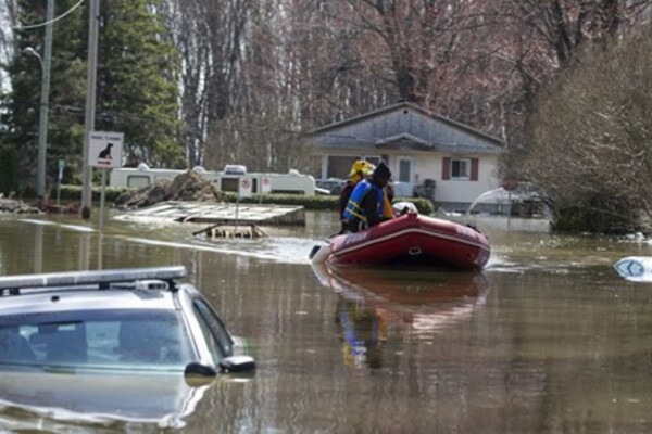
After intense floods in 2017 and 2019, the Quebec government created a flood-risk map as a potential long-term solution. But the maps haven’t been perfect, leading to upset residences and property owners around the province.
CLICK LINK BELOW TO WATCH VIDEO
