Home > News > News > WATCH: Understanding Quebec's flood-risk map and its controversy!

WATCH: Understanding Quebec's flood-risk map and its controversy!

06 Aug 2019
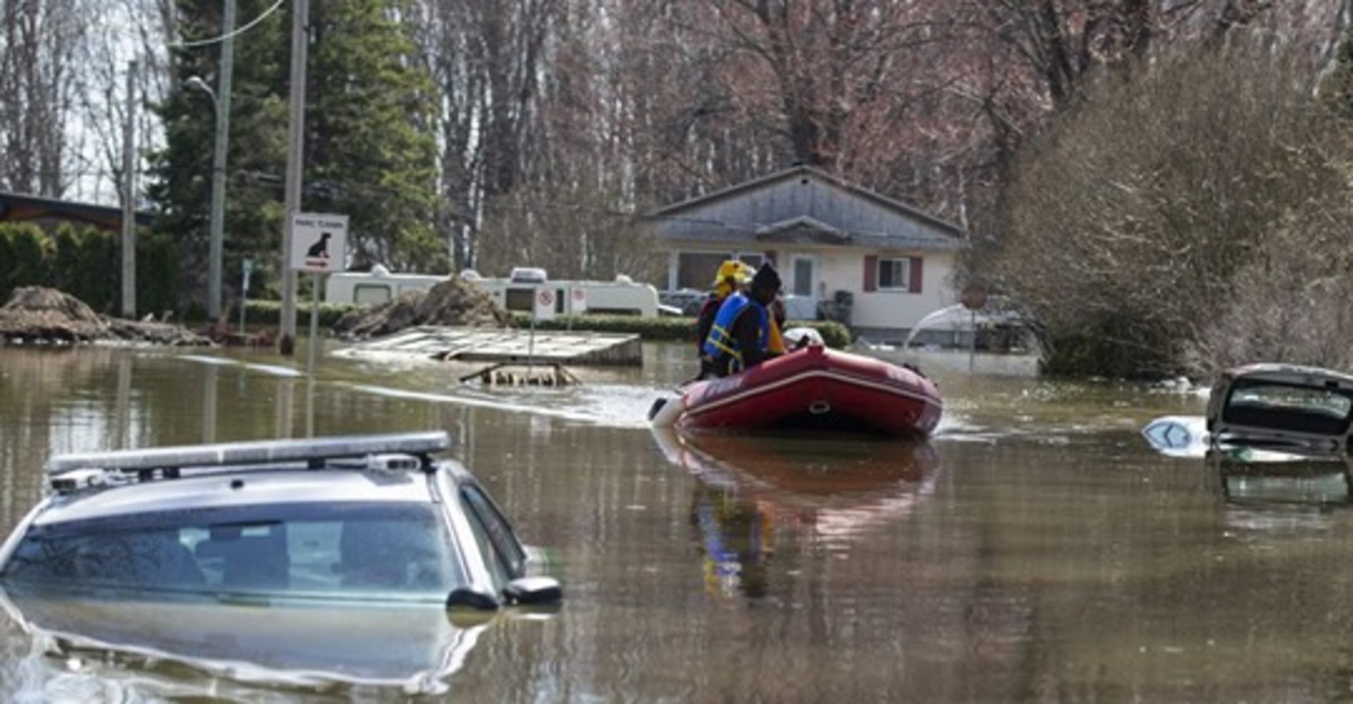
In response to criticism, the most recent map was adjusted and re-released in July. There are now 30 fewer municipalities in special intervention zones, setting the mark at 783. 

After intense floods in 2017 and 2019, the Quebec government created a flood-risk map as a potential long-term solution. But the maps haven’t been perfect, leading to upset residences and property owners around the province. 

CLICK LINK BELOW TO WATCH VIDEO

Find the original content here
Share

DAVID LAMBROU

Residential Real Estate Broker

514 746-3056
Privacy Policy.
Decline
Accept
With your consent, we and our partners use cookies or similar technologies to store, access and process personal data such as your visits to this website, IP addresses and cookie identifiers. You can revoke your consent at any time.
Together with our partners, we process the following data:
Precise geolocation data and identification through device analysis, audience data and product development, Store and/or access to information on a terminal.